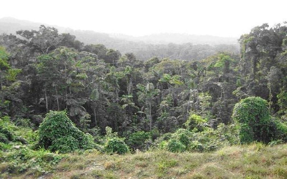
LiDAR Accuracy in Heavily Vegetated Areas

LiDAR is an abbreviation for Light Detection and Ranging. Similar in concept to radar, LiDAR uses pulses of laser light to measure the distance from a platform (airplane, helicopter or ground vehicle) to an object such as the ground, an electric transmission wire, a building or vegetation.
Essentially, the raw data “looks” like a lot of dots, except that each “dot” has a precise X, Y, and Z value associated with it. DigitalWorld/LidarUS uses commercial as well as custom proprietary software to extract meaningful information from these millions (and often billions) of data points.
Our LiDAR systems that acquire full waveform data can collect an unlimited number of echoes from a single laser pulse. LiDAR does not penetrate the vegetation but if sunlight can reach the forest floor so can the laser. This allows our systems to define vegetation canopies, intermediate vertical structures, and the ground simultaneously.
LiDAR accuracy depends on the LiDAR platform itself and how the survey is physically executed. Also, be aware that there are two types of accuracy; absolute and relative. Absolute refers to how accurate the survey is with respect to a known benchmark such as a National Geodetic Survey (NGS) monument. Relative accuracy refers to how accurate one LiDAR point within the survey is to another point within the same survey. A wide variety of issues can affect the accuracy of a LiDAR survey. Typically absolute accuracy is quoted to “hard point control”. This can be defined as a control point that has a direct path between it and the sensor. That is a control point that is not obscured by grass, bush, trees or building shadows. As the control points are compared with a LiDAR surface which is generated from a gridded or triangulated model the distance between the ground points used to generate this model affect the reported accuracies. In heavily vegetated areas far fewer points reach the ground. These points are still very accurate but as the distance between them is greater the surface used for comparison has more interpolation and in some cases small undulations can be missed. It should also be noted that LiDAR does not penetrate the “duff” or dead vegetation laying on the forest floor. This sometimes produces differences with conventional ground surveys as the ground surveyor routinely uses a pointed range pole or kicks away the “duff” when sampling a point.
DigitalWorld/LidarUS routinely uses two methods of control point collection to provide our clients with an assessment of the LiDAR accuracy on a project. Typically several static control points are acquired in the project area. A kinematic survey is also performed by using a vehicle mounted dual frequency GPS unit and post processing the data. These methods provide thousands of high quality control points to compare to the LiDAR ground surface.
When compared to “hard point control” our LiDAR systems produce a vertical accuracy of better than 10 Cm RMSE. Depending on project requirements and acquisition parameters absolute accuracy of a few centimeters are achievable. Accuracy in heavy vegetation is difficult to quantify but typically will be 1.5 to 2 times higher depending on the spacing of the points that reach the ground through the vegetation. It should be noted that this difference is not necessarily caused by a difference in the point accuracy but by the resolution of the surface model used to compare the control in these areas.
DigitalWorld/LidarUS has successfully completed hundreds of projects in heavily vegetated areas in Hawaii, the Caribbean, Central and South America. Our proprietary systems and techniques provide our clients with fast, accurate topographic surveys in extremely difficult areas. These surveys are vastly superior and much more cost effective than conventional ground survey methodologies.
See PDF here
LiDAR Accuracy in Heavily Vegetated Areas
